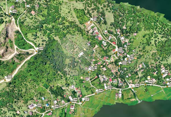
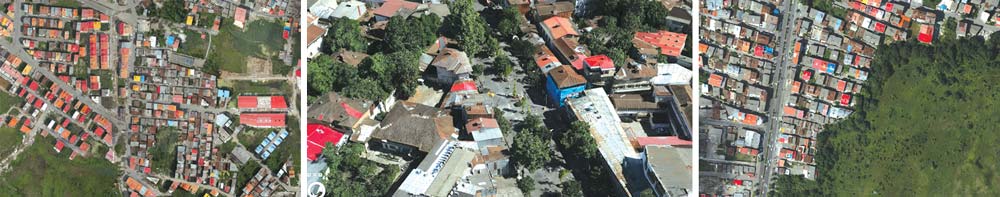
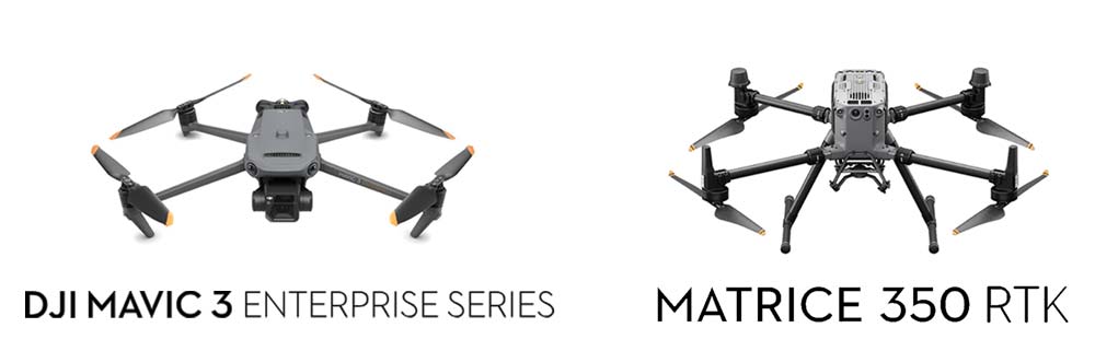
Our photogrammetry services provide high-resolution aerial and terrestrial mapping solutions, delivering accurate 3D models and topographic data for various projects. Using drones and specialized multispectral cameras and Lidar, we capture detailed imagery that allows for precise measurements, terrain modeling, and volumetric analysis.
This technology is ideal for large-scale land surveys, construction planning, and environmental monitoring. By integrating photogrammetry with our other surveying methods, we offer a cost-effective and efficient solution for capturing comprehensive spatial data with exceptional accuracy.
Hydrography
Hydrographic surveying, one of our specialized services, focuses on mapping and analyzing bodies of water, including rivers, lakes, and coastal areas. Using advanced sonar, GPS, and echo-sounding technology, we collect precise underwater data to determine water depths, seabed topography, and submerged structures. This method is essential for navigation safety, dredging operations, environmental studies, and marine construction projects. By integrating hydrographic surveying with our land surveying expertise, we provide comprehensive geospatial solutions tailored to both land and water environments.
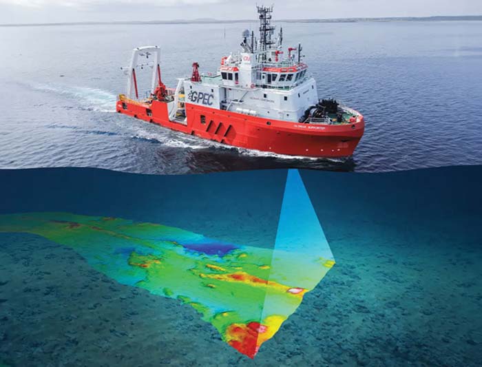
The main types of hydrography include:
1. Single Beam Echo Sounder (SBES)
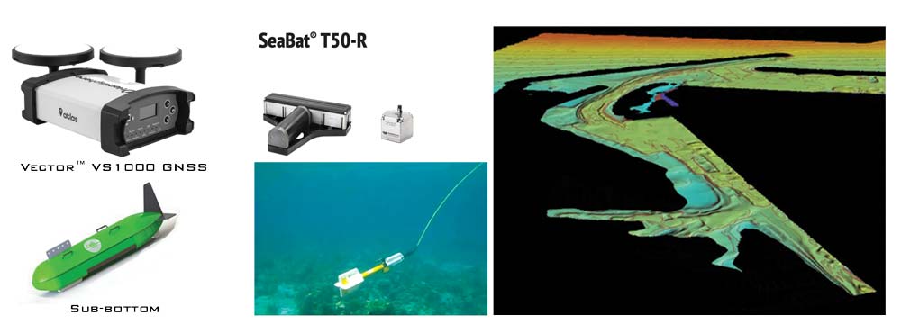
2. Multibeam Echo Sounder (MBES)
3. Side Scan Sonar (SSS)
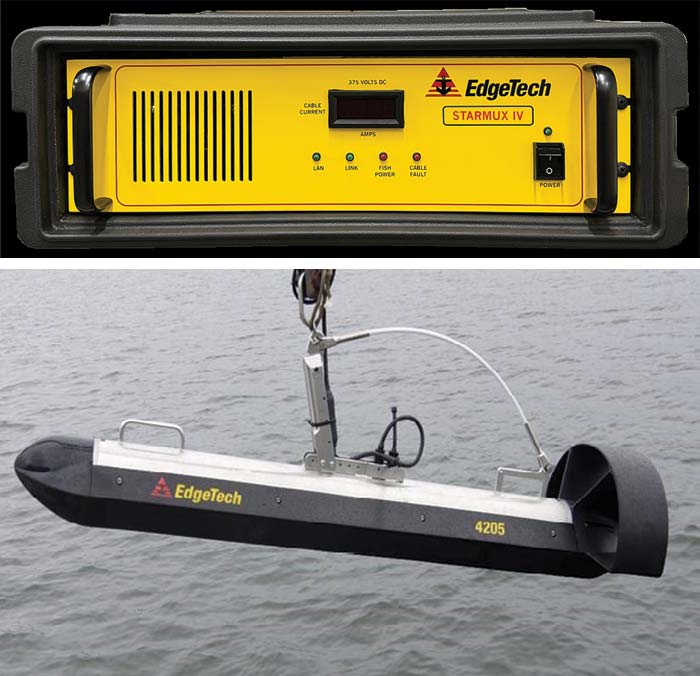
4. Magnetometry Hydrography
5. SUB-BOTTOM profiler
Each type of hydrography is chosen based on project requirements, environmental conditions, and the level of detail needed.
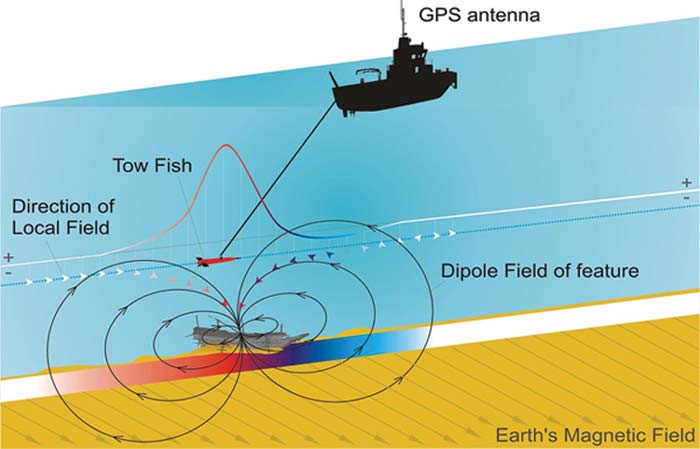
Marine magnetometry identification of
ferromagnetic objects and anomalies
Magnetometer is a key geophysical instrument in hydrography and subsurface studies used to measure changes in the Earth’s magnetic field.
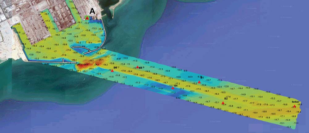
Multi-beam hydrographic point collection operation Shahid Rajaee Port
Questions about Our Services?
For a friendly feel free to contact us on: +968 9811 9327
Surveying Services in Oman
At GPEC, we offer comprehensive surveying solutions across Oman—combining advanced technology and local expertise to deliver precise land, GIS, drone, and GPR surveys tailored for every industry.
Why Accurate Surveying Matters in Oman
In Oman’s diverse environments—urban zones, deserts, coastal areas—accurate surveying is essential for safe, efficient development. Whether for infrastructure, construction, pipelines, or environmental studies, our precision surveys ensure project success and regulatory compliance.
Our Core Surveying Services
- Land & Topographic Surveys
Precise mapping of terrain, boundaries, elevations—ideal for urban planning and construction preparation.• GIS Mapping & Bathymetric Surveys
We integrate geospatial data to support planning, environmental management, and coastal projects.• Drone & 3D Laser Scanning
High-resolution aerial imaging and LiDAR capture for site analysis, volume measurement, and documentation.• GPR (Ground‑Penetrating Radar)
Non-destructive underground scans for utilities, archaeological sites, and subsurface mapping.• Pipeline & Infrastructure Surveys
Specialized services for pipeline routing, alignment, corridor analysis, and corridor mapping.
Why Choose GPEC for Surveying in Oman
– Local Know‑How: Experienced team familiar with Oman’s geology and regulations
– High‑End Tools: GPS, GNSS, drones, LiDAR, GPR, and GIS platforms
– Certified Accuracy: Compliant with Omani standards for engineering, construction, and environmental projects
– Turnkey Solutions: From fieldwork to analysis, reporting, and integration with client systems
Questions about Our Services?
For a friendly feel free to contact us on: +968 9811 9327