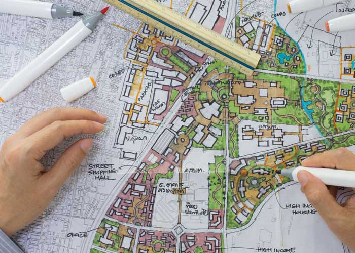
In the fast-growing urban landscapes of Oman and the wider Gulf region, the need for accurate and efficient planning tools is more critical than ever. Geographic Information Systems (GIS) and land surveying form the backbone of sustainable urban development. Gulf Planning and Engineering Consultancy (GPEC) stands out as a premier provider of these services, bringing over 50 years of experience and technological innovation to the region. In this article, we explore how GIS and surveying services offered by GPEC are shaping Oman’s cities and infrastructure.
What is GIS and Why It Matters for Urban Planning
Geographic Information Systems (GIS) are powerful tools that capture, store, analyze, and visualize spatial and geographic data. Urban planners use GIS to:
- Map land use and zoning
- Identify infrastructure needs
- Monitor environmental impact
- Model traffic and utility networks
- Analyze population distribution and growth
GIS turns complex data into interactive maps and models that help city planners make informed decisions.
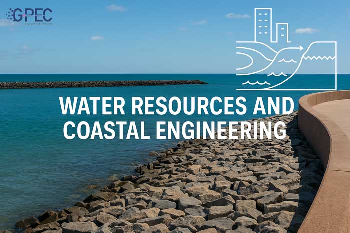
The Role of Land Surveying in Infrastructure Development
Land surveying is the process of measuring and mapping land features, boundaries, and elevations. It is essential in every stage of construction, from feasibility studies to post-project evaluations. At GPEC, land surveying is not just a service; it’s a science-driven discipline supported by advanced tools and techniques:
- Total Stations and GPS-based systems for high accuracy
- Drone-based aerial photogrammetry
- 3D laser scanning (LiDAR)
- Hydrographic surveys for coastal and marine projects
GPEC’s GIS Services: Technology Meets Expertise
GPEC offers end-to-end GIS services tailored to Oman’s unique topographical and environmental needs. These include:
- GIS data collection and database development
- Spatial analysis and 3D modeling
- Custom GIS software solutions
- Integration with BIM (Building Information Modeling)
- Smart city planning and IoT-enabled GIS layers
GPEC works closely with municipalities and government bodies to deliver GIS solutions that are both innovative and actionable.
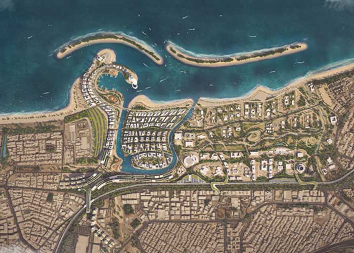
Case Study: Muscat Municipality Urban Planning Project
One of GPEC’s landmark projects involved collaboration with Muscat Municipality to develop a comprehensive urban planning platform. Key achievements included:
- Digitization of over 10,000 land plots
- Integration of zoning regulations with GIS layers
- Real-time infrastructure updates
- Public service optimization based on population heat maps
This project not only improved administrative efficiency but also helped reduce service delivery times by over 35%.
Competitive Advantages of GPEC
What makes GPEC a leader in GIS and surveying in the Gulf?
Experience: Over five decades of consulting in urban planning and infrastructure
Multidisciplinary Team: Engineers, GIS analysts, software developers, and project managers
Cutting-Edge Technology: Investment in LiDAR, UAVs, and AI-driven analytics
Collaborations: Partnerships with leading universities and research centers
Customized Solutions: Tailored services for local, regional, and national authorities
The Importance of Sustainable Planning in Oman
Oman’s Vision 2040 emphasizes sustainable growth, environmental stewardship, and smart urbanization. GPEC’s services align perfectly with these goals by:
- Minimizing ecological disruption through data-driven planning
- Enhancing infrastructure resilience to climate change
- Enabling community-inclusive urban designs
How to Get Started with GPEC
GPEC offers free initial consultations to municipalities, developers, and infrastructure agencies. Here’s how to engage with the team:
Submit your project idea or inquiry via the contact form
Receive a tailored proposal and timeline from GPEC experts
Conclusion
As cities in Oman and across the Gulf continue to expand, the role of GIS and land surveying will only become more crucial. GPEC’s commitment to precision, innovation, and sustainability makes it the go-to consultancy for shaping the future of urban planning. Whether you’re planning a new development, managing public infrastructure, or launching a smart city initiative, GPEC is your trusted partner in building the future.