 Gulf Planning and Engineering Consultancy (LTD)
Geodesy &
Survey Control
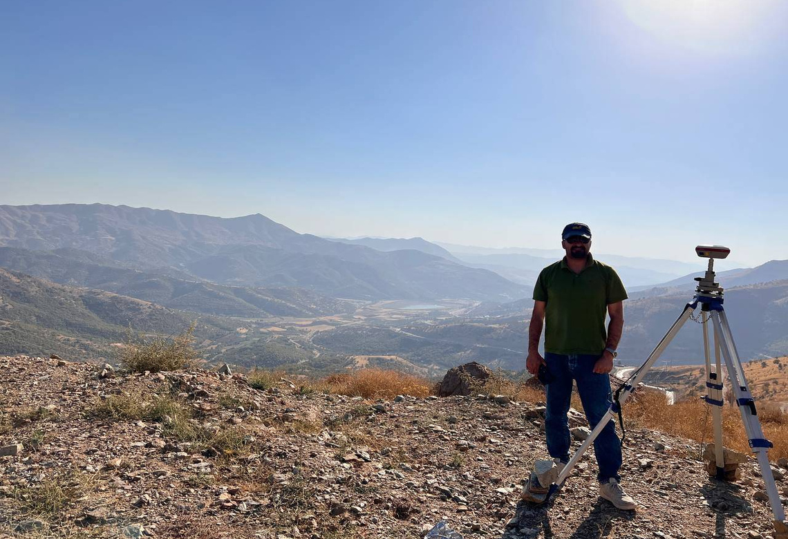
GNSS positioning, terrestrial total-station measurements and precise levelling form a reference framework for engineering works, monitoring and repeatable project surveys.
Engineering & Consultancy / Geomatics
Reliable geospatial data for planning, design and construction.
Geodetic control, terrestrial and UAV surveys, photogrammetry, LiDAR and GIS support verified mapping, terrain models and engineering-ready spatial datasets.
Explore our servicesThe foundation of a sound design
Surveying establishes a measurable picture of a site—its position, elevation, physical features and constraints. Control points, coordinate systems, datums and independent checks are selected for the purpose and accuracy requirements of each assignment.
Terrestrial observations, GNSS, imagery and laser scanning are complementary rather than interchangeable. Combining them intelligently helps project teams make informed decisions without overstating the certainty of any single dataset.
Surveying disciplines
Methods are selected to match survey purpose, access constraints, terrain and agreed tolerances. Documented control, independent checks and traceable processing support defensible engineering deliverables.
GNSS positioning, terrestrial total-station measurements and precise levelling form a reference framework for engineering works, monitoring and repeatable project surveys.
Mapping of existing features, levels, contours, infrastructure and site boundaries supports feasibility, grading, earthworks, alignment studies, setting-out and as-built documentation.
Georeferenced imagery and LiDAR point clouds can support orthomosaics, surface models, terrain extraction and three-dimensional representations—validated with control and checkpoints as appropriate.
Structured spatial data links field measurements with CAD/GIS design workflows. Where relevant, bathymetric observations can be incorporated with carefully managed horizontal and vertical reference systems.
Technical approach
A defensible deliverable depends as much on the control and checking strategy as it does on the sensor used to acquire the observations.
Define purpose, coordinate reference, tolerances, site constraints and independent check methods.
Use appropriate field methods, record metadata and inspect observations against the control framework.
Prepare drawings, GIS datasets, terrain models and reports suited to engineering use.
Typical project outputs
Technology reference: DJI confirms that Matrice 400 supports Zenmuse L3 using the dedicated single-gimbal connector on E1. Product specifications are presented for technical context only, not as a statement of GPEC ownership. DJI Matrice 400 · DJI Zenmuse L3.
Discuss a surveying scopeGPEC / Engineering & Consultancy