 Gulf Planning and Engineering Consultancy (LTD)
Understand the setting
Compile geological maps, terrain and satellite information, available geophysical surveys and site or marine-access constraints.
ENGINEERING / EXPLORATION
Evidence-led investigation on land and at sea.
Integrated geospatial, geological and geophysical information supports better decisions about ground conditions, project constraints and the next stage of investigation.
Explore our capabilitiesTWO OPERATIONAL ENVIRONMENTS
Investigation methods and field programmes are selected for the terrain, water depth, geology, data quality objectives and the decisions the study must support.
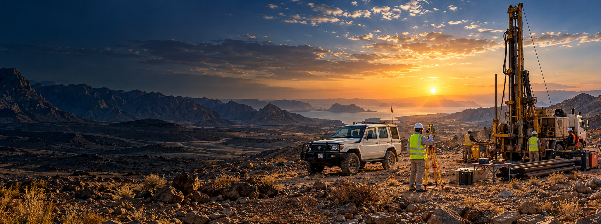
Geological reconnaissance, geophysical survey planning, topographic control and integration of site and subsurface information.
Explore Onshore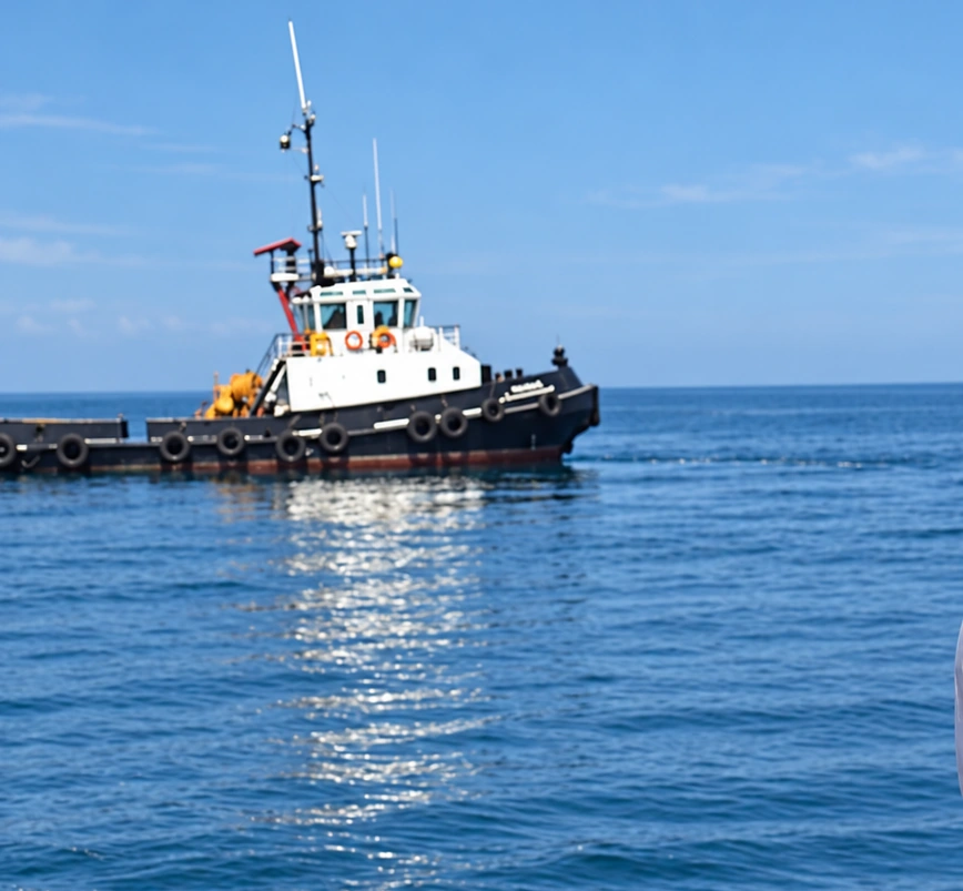
Marine positioning, bathymetric mapping, seabed characterization and integration of hydrographic and geophysical observations.
Explore OffshoreENGINEERING APPROACH
Exploration is an iterative process: map the setting, choose appropriate methods, verify observations and identify what further evidence is needed. The purpose is to reduce uncertainty—not to imply that indirect measurements confirm a recoverable resource.
Compile geological maps, terrain and satellite information, available geophysical surveys and site or marine-access constraints.
Define control, survey geometry, instrument suitability, sampling strategy and QA/QC measures for each project objective.
Combine observations in GIS and geoscience workflows while documenting assumptions, limitations and areas needing verification.
Provide appropriate maps, profiles, spatial datasets and technical reports for design, planning or further investigation.
OUR FOCUS
Scopes are developed around project requirements and suitable specialist resources, without promising a particular subsurface result.