Engineering / Exploration / Offshore

EXPLORATION / MARINE ENVIRONMENTS

Offshore
Exploration

Reliable marine information for informed development decisions.

From hydrographic survey planning to seabed characterization and geospatial integration, marine investigations support the technical understanding required before offshore development, construction and maintenance.

Explore marine capabilities
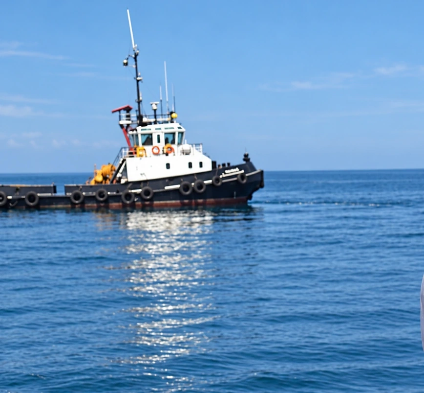
Civilian marine working vessel at sea, viewed from another vessel
Marine field environment & vessel operations
01BathymetrySurvey coverage & depth reference
02Seabed dataCharacterization & interpretation
03Marine positioningIntegrated field measurements
04Engineering outputsMaps, models & reporting

OUR TECHNICAL SCOPE

Understanding the sea
before work begins.

Marine survey methods are selected to match the engineering decision, available vessel access, seabed setting, required resolution and project constraints. Our role is to organize traceable observations and combine specialist results into actionable spatial information.

01 / HYDROGRAPHY

Bathymetric surveying

Plan and integrate single-beam or multibeam echo sounding surveys, with appropriate positioning, sound-velocity corrections, tide or vertical-datum control and coverage checks.

Typical outputs: soundings, depth surfaces, contour maps and coverage records.
02 / SEABED

Seabed mapping & inspection

Combine suitable acoustic imagery, visual inspection and environmental context to characterize seabed texture, obstructions, possible hazards and nearshore features.

Possible methods: side-scan sonar and targeted ROV observations.
03 / GEOPHYSICS

Marine geophysical support

Provide geospatial and acquisition-planning support for specialist methods such as sub-bottom profiling, magnetic surveys and seismic investigation where the scope warrants them.

Interpretations remain subject to method limitations and specialist review.
04 / INTEGRATION

Marine GIS & data integration

Combine positioning, bathymetry, acoustic interpretation, coastal topography and field logs into consistent spatial references and documented technical products.

Deliverables: GIS layers, mapped features, surfaces and findings reports.

MARINE FIELD EXPERIENCE

People, positioning
& operational context.

Effective offshore data collection depends on survey geometry, vessel capabilities, sea state, navigation constraints, equipment calibration and safe operations. The right acquisition platform and suitably qualified specialists are chosen for the agreed technical objectives.

Survey programmes also require consistent horizontal positioning and vertical reference, especially when bathymetry, coastal control and engineering design datasets will be compared.

Our approachClear objectives, appropriate methods, documented quality control and transparent limitations.

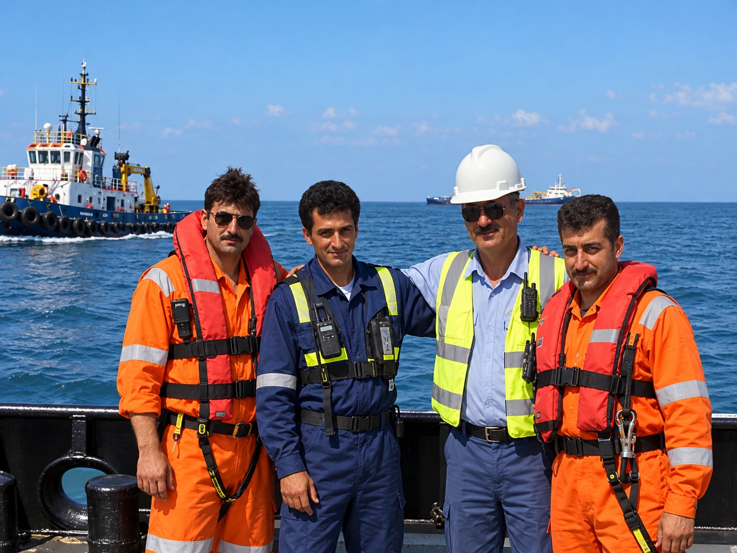
Edited maritime crew group illustration on the deck of a civilian working vessel
Marine operations & field personnel · Edited illustrative composite, not an unaltered record

METHOD & DELIVERABLES

From survey
planning to informed decisions.

The right survey scope is determined by the data gaps and risk profile of the project—not by assuming that one instrument can answer every question.

01

Define survey objectives

Agree required coverage, minimum detectable features, accuracy classes, navigation constraints, reference datums and planned deliverables.

02

Plan acquisition & controls

Review vessel suitability, survey lines, sensors, positioning, sea-state windows, permits, HSE requirements and the QA/QC plan.

03

Acquire, process & check

Coordinate calibrated observations and review positional consistency, coverage, offsets, corrections, data quality and uncertainties.

04

Integrate & report

Deliver agreed charts, interpreted maps, spatial datasets, seabed surfaces and technical findings with assumptions and limits clearly stated.

Potential engineering deliverables

Bathymetric maps & depth gridsSeabed feature mappingPositioning & datum registerGIS-ready marine datasetsSurvey coverage & QA/QC recordsMarine technical reporting

EXPLORE THE OTHER ENVIRONMENT

Onshore Exploration

Geological reconnaissance, terrain mapping and geospatial support for land environments.