Engineering / Exploration / Onshore

EXPLORATION / LAND ENVIRONMENTS

Onshore Exploration

Ground intelligence for informed exploration and engineering decisions.

From terrain reconnaissance and geodetic control to planning geological and geophysical investigations, we help organize reliable evidence about land conditions, accessibility and subsurface uncertainty.

Explore onshore services
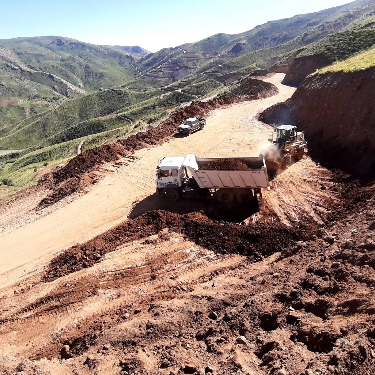
User-supplied field photograph of road-cut earthworks, a dump truck, machinery and a mountain access route
Field operations & access conditions
01Terrain & accessGround conditions and field logistics
02Survey controlPositionally consistent observations
03Targeted investigationGeological & geophysical inputs
04Technical decisionsDocumented constraints & outputs

OUR TECHNICAL SCOPE

Understanding the ground
before the next commitment.

Each exploration programme should answer a defined question. Data acquisition, specialist investigations and reporting are therefore scoped around the terrain, geology, accessibility and required confidence—not around a predetermined outcome.

01 / TERRAIN

Topography & access planning

Terrain models, slope assessment, drainage interpretation, access-corridor mapping and identification of possible work areas support safer, more practical reconnaissance and site logistics.

Typical inputs: GNSS control, UAV/terrestrial surveys, imagery and DEMs.

02 / GEOLOGY

Geological reconnaissance

Compilation of geological mapping, imagery, structural observations and field records helps define areas of interest, potential constraints and appropriate follow-up investigations.

Outputs depend on available evidence, sampling and qualified interpretation.

03 / GEOPHYSICS

Geophysical survey support

Geospatial control, traverse planning, line positioning and data coordination for suitable methods such as seismic, resistivity or magnetic surveys, with specialist design and interpretation where required.

Methods are selected according to the investigation objective and site conditions.

04 / INTEGRATION

Integrated spatial analysis

Bring survey positions, field logs, geological maps and geophysical results into consistent GIS and project reference systems to support spatial analysis, planning and transparent reporting.

Defined coordinate systems, metadata and QA/QC are part of the workflow.

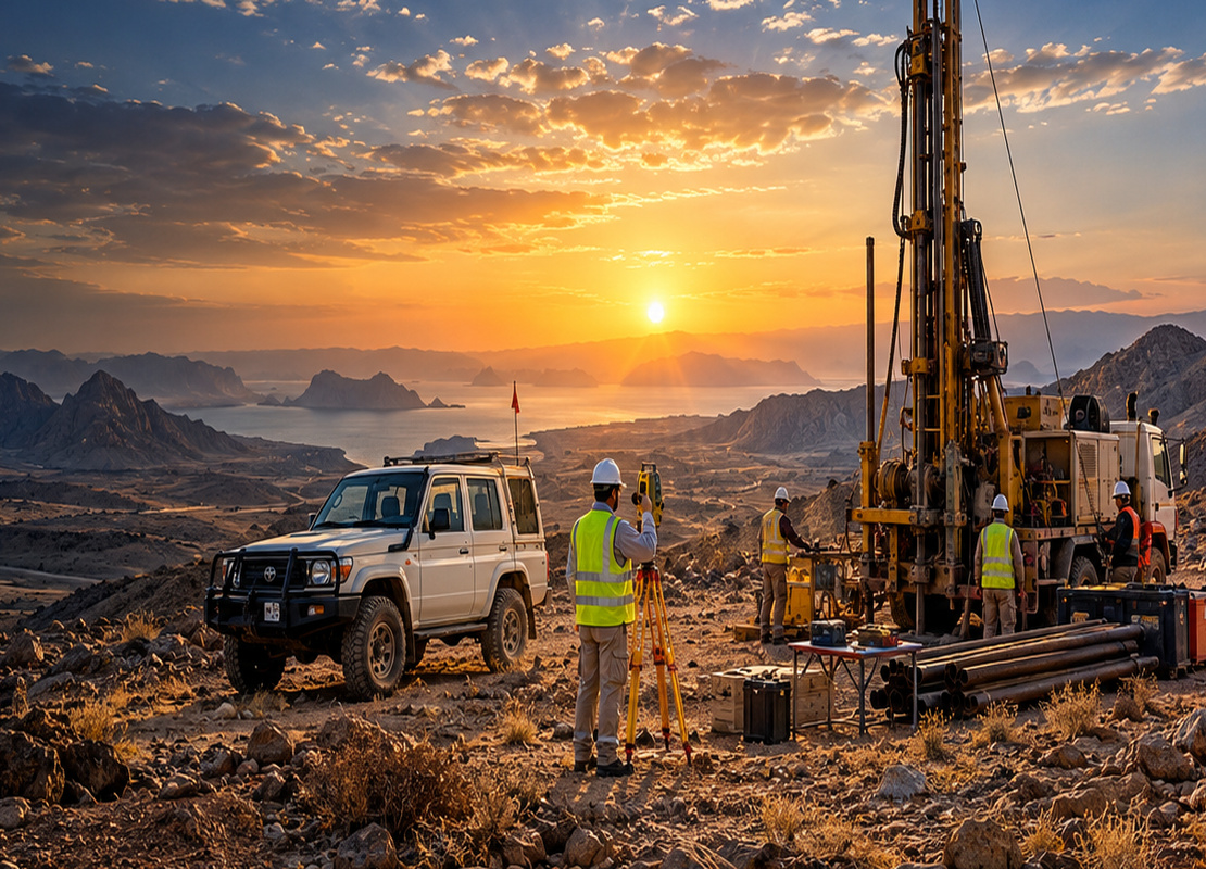
Concept illustration of a drilling rig, site vehicle and surveying work at a rugged onshore exploration location
Onshore investigation environment · illustrative

FROM RECONNAISSANCE TO SITE KNOWLEDGE

Field evidence,
engineering context.

Exploration work benefits from disciplined planning before equipment enters the field. Access restrictions, steep terrain, drainage, ground stability, positioning requirements and environmental limitations can strongly influence the efficiency and reliability of the investigation.

Survey and mapping products support specialist geological and geophysical studies, but should not be confused with proof of a deposit or guarantee of a subsurface result. Interpretations are documented together with data gaps and the need for further testing.

Our working principleAppropriate methods, traceable observations and results that can inform the next practical decision.

METHOD & DELIVERABLES

A clear route
from planning
to reporting.

Scope, accuracy requirements and specialist resources are defined for each assignment.

01

Compile & screen

Review previous surveys, topography, geological information, imagery, access, permits and the project decision to be supported.

02

Define the field programme

Specify survey control, acquisition coverage, instrument suitability, safety arrangements, environmental constraints and quality checks.

03

Acquire & validate

Collect observations and coordinate with specialist contractors where needed; review data consistency, metadata, positioning and field completeness.

04

Interpret & deliver

Provide agreed mapping, terrain surfaces, spatial datasets, interpreted profiles and technical reporting, with assumptions and limitations stated.

Examples of deliverables

Survey control & coordinate registerTopographic maps & DEMsAccess and constraint mapsGIS layers & georeferenced dataInvestigation-location plansTechnical reports & recommendations

EXPLORE THE OTHER ENVIRONMENT

Marine & Offshore Exploration

Bathymetry, seabed characterization and marine geospatial support for work at sea.