 Gulf Planning and Engineering Consultancy (LTD)


01 / PLANNING
Master Planning
Coordinated spatial strategies that align growth, development capacity and infrastructure provision.
Learn MoreENGINEERING / SPATIAL DEVELOPMENT
Integrated planning for resilient, functional and livable cities.
We bring together GIS, land-use analysis, infrastructure planning and urban design to inform sustainable growth and practical development decisions.
Explore our services01 / PLANNING
Coordinated spatial strategies that align growth, development capacity and infrastructure provision.
Learn More02 / LAND SYSTEMS
Spatial suitability, land-use scenarios and zoning evidence supported by geospatial analysis.
Learn More03 / INFRASTRUCTURE
Integrated access, transport, drainage and utility corridors for well-connected communities.
Learn More04 / RESILIENCE
Environmental and social considerations woven into adaptable, climate-responsive urban plans.
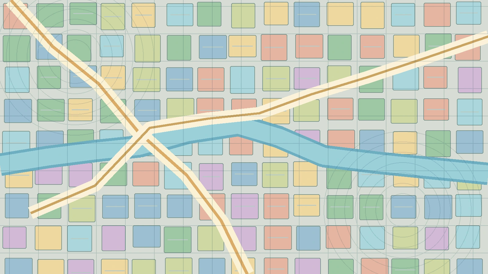
Learn MoreIllustrative cityscapes and GIS concepts; not documented GPEC projects or official land-use maps.
GPEC / INTEGRATED PLANNING
Effective urban planning connects the geography of a site with the communities it serves. It requires more than a compelling masterplan: it depends on reliable survey information, transparent land-use choices, coordinated networks and clear implementation stages.
Our approach brings spatial data, planning principles and engineering considerations together at the level appropriate to each commission—while accounting for applicable local regulations and approvals.
Evidence-led decisionsBase maps, GIS layers and verified planning assumptions.
Connected infrastructureMovement, utilities, drainage, services and public space.
Practical implementationStaging, trade-offs, design constraints and clear deliverables.
SPECIALIST CAPABILITIES
Each study is scoped to the client’s decision, project maturity, available data and the statutory planning context.
Assess existing settlement patterns, topography, development pressures, population assumptions and environmental constraints. Compare spatial concepts, land allocation, transport access and infrastructure phasing to build a coherent long-term development framework.
Typical outputs: concept plans, development structure plans, staging strategies and planning reports.Integrate cadastral parcels, base mapping, satellite imagery and GIS to evaluate land suitability, permitted uses, service demand and development constraints. Document alternative zoning choices and their implications for stakeholders and infrastructure.
Typical outputs: GIS-ready planning layers, land-use alternatives, zoning diagrams and constraints maps.Consider street networks, public transport access, pedestrian movement, emergency access, drainage pathways and utility corridors together. Identify conflicts early and coordinate technical interfaces with the relevant engineering disciplines.
Typical outputs: network strategies, corridor plans, design coordination diagrams and infrastructure briefs.Assess the relationship between urban form, walkability, landscape, shade, open space and environmental conditions. Where relevant, incorporate flood exposure, heat mitigation, water-sensitive design and resilience considerations at the appropriate level of detail.
Typical outputs: resilience principles, public-realm concepts, spatial guidelines and scenario visualisations.HOW WE WORK
Good planning is iterative. The process moves from sound spatial data to tested options, coordinated decisions and a documented framework for the next design stage.